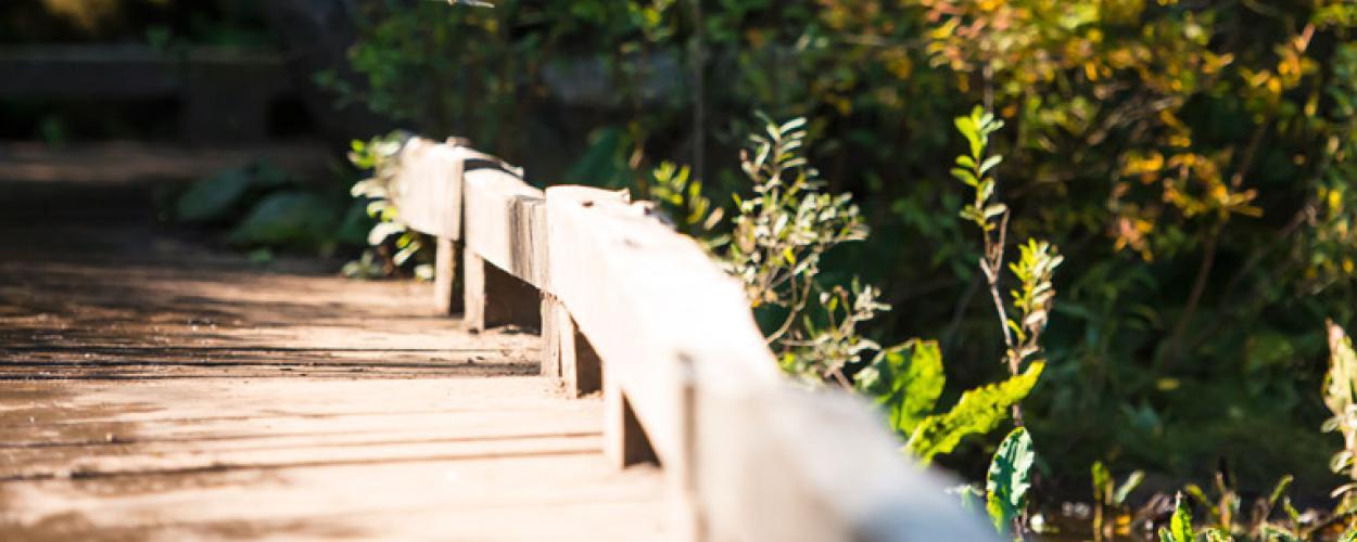
Update: trail closed at Lawson Creek bridge
A large tree has fallen on the trail bridge that crosses Lawson Creek along the Skyline Trail off Millstream Fire Access Road.
The bridge is not safe to use and has been closed to the public. Parks staff are assessing the site conditions and will develop a plan for remediation.
Background
The Trans Canada Trail is the longest trail of its kind in the world. Spanning approximately 16,000 km, the trail winds its way through every province and territory and connects Canadians from coast to coast to coast. The West Vancouver portion of the Trans Canada Trail starts in Horseshoe Bay. It travels along the Seaview Walk, and then either passes across the Upper Forested Lands to Cleveland Dam or along the lower route through urban areas. The upper route is for hiking and snowshoeing while the lower route is for cycling.
Map
Here’s a map of the entire Trans Canada Trail. Zoom in to West Vancouver to see our local routes.